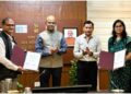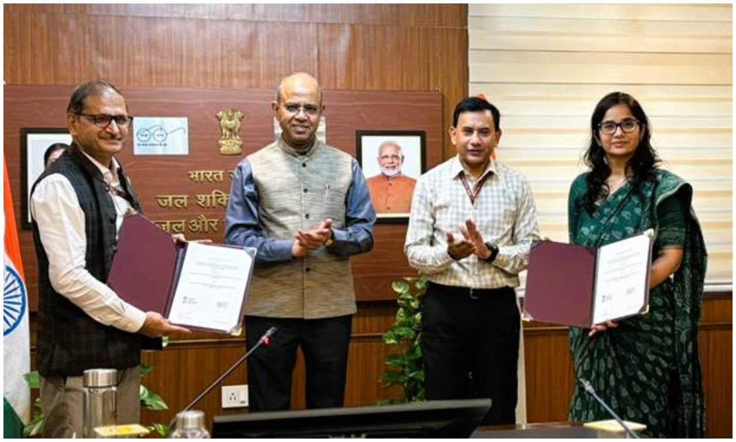
New Delhi: The Department of Drinking Water & Sanitation (DDWS), Ministry of Jal Shakti, signed a Memorandum of Agreement with the Bhaskaracharya National Institute for Space Applications and Geo-informatics (BISAG-N) at CGO Complex, New Delhi. The DDWS BISAG-N partnership will create a GIS-integrated, decision-support platform for the Jal Jeevan Mission (JJM) and Swachh Bharat Mission (Grameen) [SBM(G)] portals.
Secretary, DDWS, Shri Ashok K.K. Meena, chaired the event. Joint Secretary (JJM) Smt. Swati Meena Naik and Special Director General, BISAG-N, Shri Vinay Thakur exchanged the signed MoA in the presence of Shri Kamal Kishore Soan, AS & MD-NJJM, and senior officials from both organisations. The ministry positioned the agreement as a step toward data-driven delivery in rural water and sanitation.
The platform will enhance planning, monitoring, and evaluation across JJM and SBM(G). It will integrate geospatial layers with programme dashboards. Moreover, it will enable real-time visualisation and analytics for field teams and decision-makers.
DDWS BISAG-N partnership builds GIS platform to monitor rural water and sanitation
Functionally, the system will support the creation and mapping of Rural Piped Water Supply Schemes (RPWSS). It will assign unique scheme-level IDs and allow granular tracking of water delivery at the household level. Consequently, implementers can identify gaps, schedule maintenance, and prioritise investments with greater accuracy.
BISAG-N will provide end-to-end support. The scope includes database design, map creation, data migration, software development, and systems integration. In addition, advanced geospatial features—ground control surveying, digital photogrammetry, vector data capture, and thematic mapping—will enrich basemaps and asset inventories.
Crucially, the platform will align with the PM GatiShakti National Master Plan. Therefore, water and sanitation assets can converge with other sectoral layers such as roads, health, and education. This integration should optimise resource allocation, reduce duplication, and accelerate infrastructure delivery in rural areas.
Secretary Meena emphasised transparency, accountability, and efficiency through geospatial technologies. He noted that the collaboration would bring cutting-edge GIS capabilities into JJM and SBM(G), thereby supporting timely decisions and better outcomes. Furthermore, the ministry expects improved evaluation frameworks and clearer performance baselines across districts.
This initiative supports the Government of India’s Digital India vision. By blending spatial intelligence with mission data, the DDWS BISAG-N partnership aims to create a robust digital backbone for rural water and sanitation. As a result, planners, engineers, and local bodies will gain a unified view of schemes, coverage, and service quality.
Ultimately, the agreement seeks to translate maps and data into faster services for households. With clearer visibility and coordinated planning, villages should see steadier supplies, cleaner surroundings, and better health outcomes.