HYDERABAD: A dramatic shift in weather brought unexpected relief to Hyderabad residents on Monday night, following a sweltering afternoon that saw high temperatures across the city.
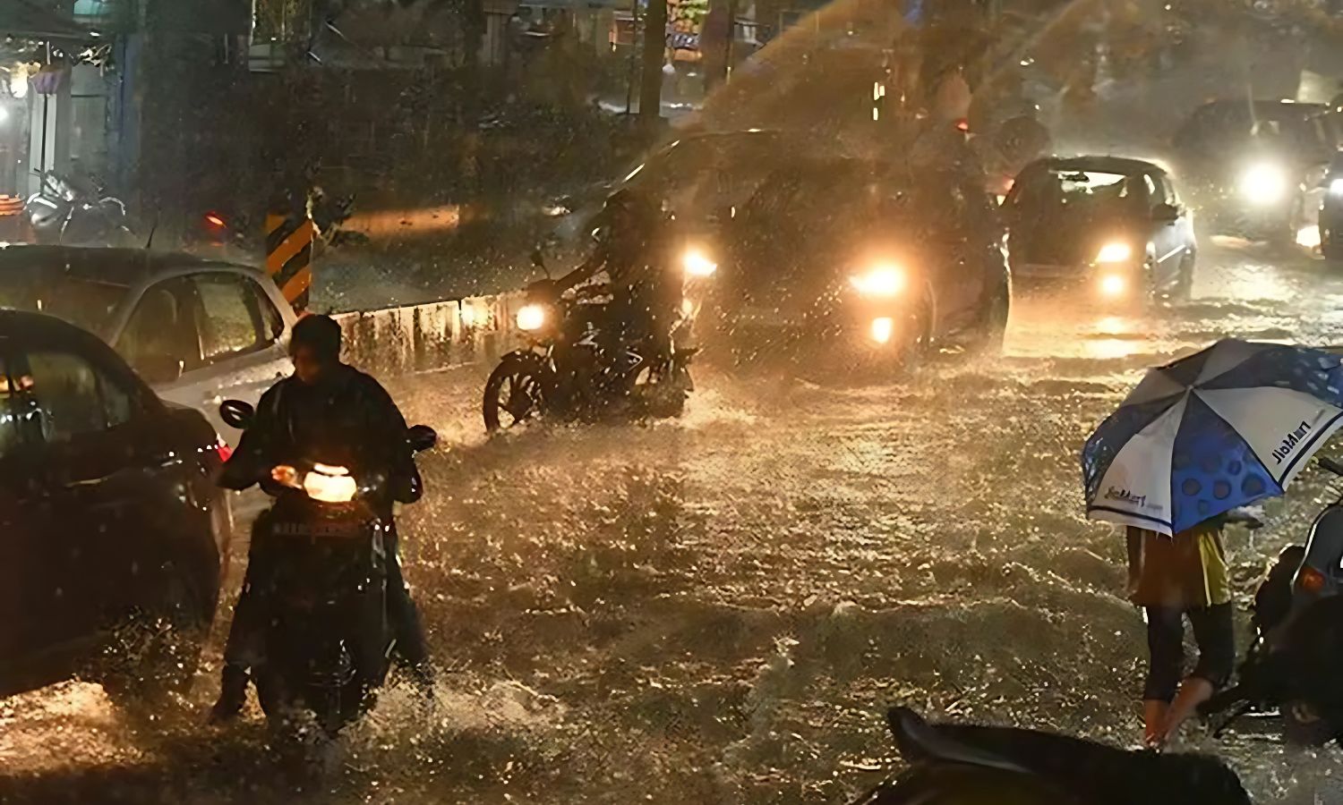
The evening saw heavy cloud build-up followed by a sudden downpour, accompanied by thunder and lightning. Localities such as Abids, Koti, and Basheerbagh witnessed moderate rainfall, while areas like Banjara Hills, MLA Colony, and Krishnanagar experienced light drizzles. The Secunderabad region and surrounding neighbourhoods, including Panjagutta, Jubilee Hills, and parts of Banjara Hills, also received a fair share of rain.
Elsewhere in Telangana, similar weather patterns were reported. Karimnagar town experienced a thunderstorm with intense rainfall, leading to waterlogging on major roads. In Kumram Bheem district headquarters, a heavy storm brought down the national flagpole outside the District Collector’s office due to strong winds.
According to the Hyderabad Meteorological Department, isolated showers are likely to continue over the next three days in various parts of the state. The recent weather activity has been attributed to a north-south trough currently extending from southeast Madhya Pradesh through Marathwada, Telangana, and interior Karnataka, reaching up to 0.9 kilometres above sea level.
Another minor trough, active until recently, has now weakened, but its influence is still contributing to unsettled conditions in the region. The Met Office forecasts a noticeable drop in day temperatures and a continued likelihood of scattered rainfall across Telangana until mid-week.
Residents are advised to stay updated on weather alerts as brief but intense showers, accompanied by gusty winds, may affect commutes and local infrastructure. Authorities have yet to report any major disruptions, but intermittent rain and reduced heat are expected to provide some respite from the early summer discomfort.